- Location : Near Aponisos
- Type : Lake
Description : It functioned as a salt marsh when the inhabitants of the island built a canal that connected it to the sea, in order to regulate the flow of seawater and produce salt. In 1832, Mavrokordatos closed it down due to high maintenance costs and the malpractices of the 'superintendent of the customs office of the Agkistri salt marsh'. The salt collection served local needs, and until recently they used to dip cedar wood there to strengthen it as a building material.
- Location : Cape Skylomagas
- Type : Cave
Description : Semi-submerged sea cave on the homonymous cape in the south of the island.
- Location : West of the port of Skala
- Type : Beach
Description : Aπομονωμένη, παρθένα παραλία σε φυσικό γαλαζοπράσινο κόλπο, με μεγάλα βότσαλα και κρυστάλλινα νερά. Η πρόσβαση γίνεται ακολουθώντας ένα στενό μονοπάτι μέσα στο πευκοδάσος. Eίναι παραλία γυμνιστών.
- Location : Between Aponisos and Agκistri
- Type : Beach
- Bibliography/Comments : The private island of Aponisos is connected to Agkistri by a narrow bridge
Description : The beach is no more than 150 meters long and 5 meters wide, with the coast covered by flat and smooth rocks. There is an organized section with sunbeds, as well as a free space if you want to lay out your towel.
- Location : West of Agkistri
- Type : Islet
- Bibliography/Comments : Type of bridge between Aegina and Cape Epidauria.
Description : It is an uninhabited rocky islet west of the islet of Kyra and Agkistri.
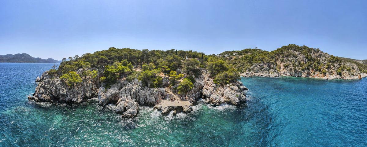
- Location : Southeast of Agκistri, Epidavros Bay
- Type : Islet
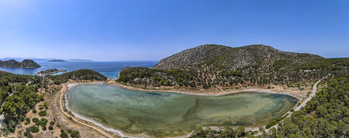
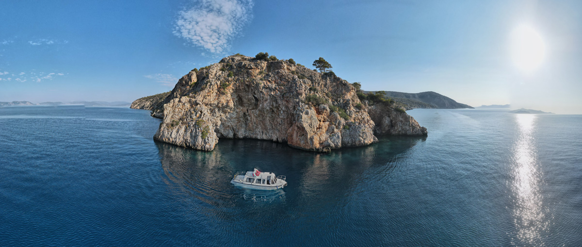
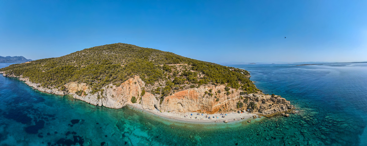
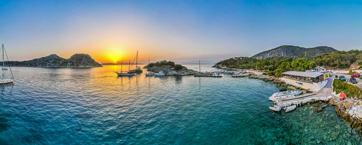
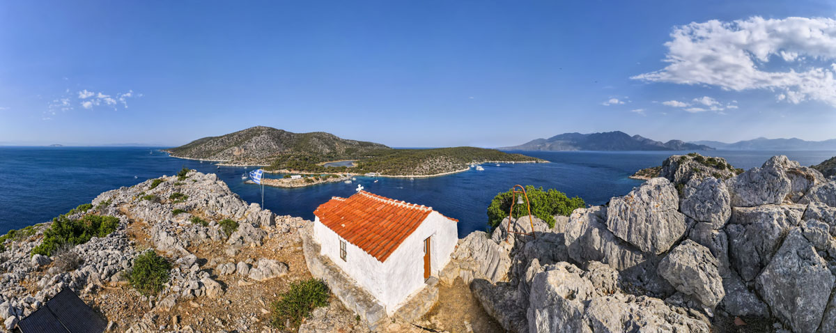
Description : According to tradition, it is said that the Dorians descended towards Central and Southern Greece and reached the area of the lake. Passing the opposite island, Dorousa, they built protective walls. From this contact with the Dorians, this islet was named Dorousa. At the top of the islet, a chapel of Profitis Ilias is built, while at the seabed lies the 2004 wreck of the cargo ship Avantis III. On the western side of the islet, there is a visible rubble masonry wall, built on a defensive enclosure from the early Byzantine period. Scattered Archaic and Roman sherds can be seen on the surface. Dorousa was used as a pasture, as it had arable land.
- Location : West of Agκistri, Limenaria
- Type : Beach
Description It is a wide rock (diving platform) ideal for diving in deep turquoise waters. At 200m. from Limenaria in an east direction, a small dirt road starts, and at 100m. there is the dream dive.
- Location : West of Agkistri
- Type : Beach
Description : Βοτσαλωτή παρθένα παραλία, περιτριγυρισμένη από δάσος πεύκων. Εύκολα προσβάσιμη με δρόμο με υπαίθρια καντίνα.
- Location : Megalochori
- Type : Beach
- Location : West of Agkistri port
- Type : Beach
- Location : Skala, northeast side of the island.
- Type : Beach
- Location : Northeast of the port of Megalochori
- Type : Islet
Description : Ακατοίκητη νησίδα, η οποία ανήκε στη μονή Παναγίας Χρυσολεόντισσας της Αίγινας, και είχε μεγάλη σημασία για τους κατοίκους του Αγκιστρίου, καθώς αποτελούσε το βοσκοτόπι για τα ζώα του νησιού. Εκεί βρίσκεται και το εξωκκλήσι των Αγίων Θεοδώρων και μικρός, αλλά σημαντικός, παραθαλάσσιος υγρότοπος στην ανατολική ακτή.
- Location : North of Aponisos
- Type : Beach
- Location : 3.5 nautical miles northwest of Agistri
- Type : Islet
- Location : Megalochori
- Type : Beach